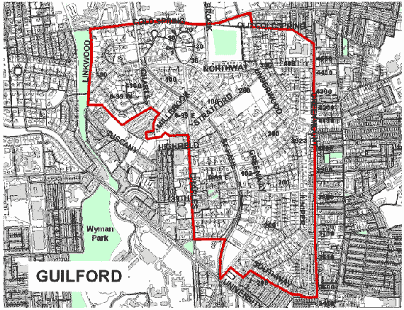
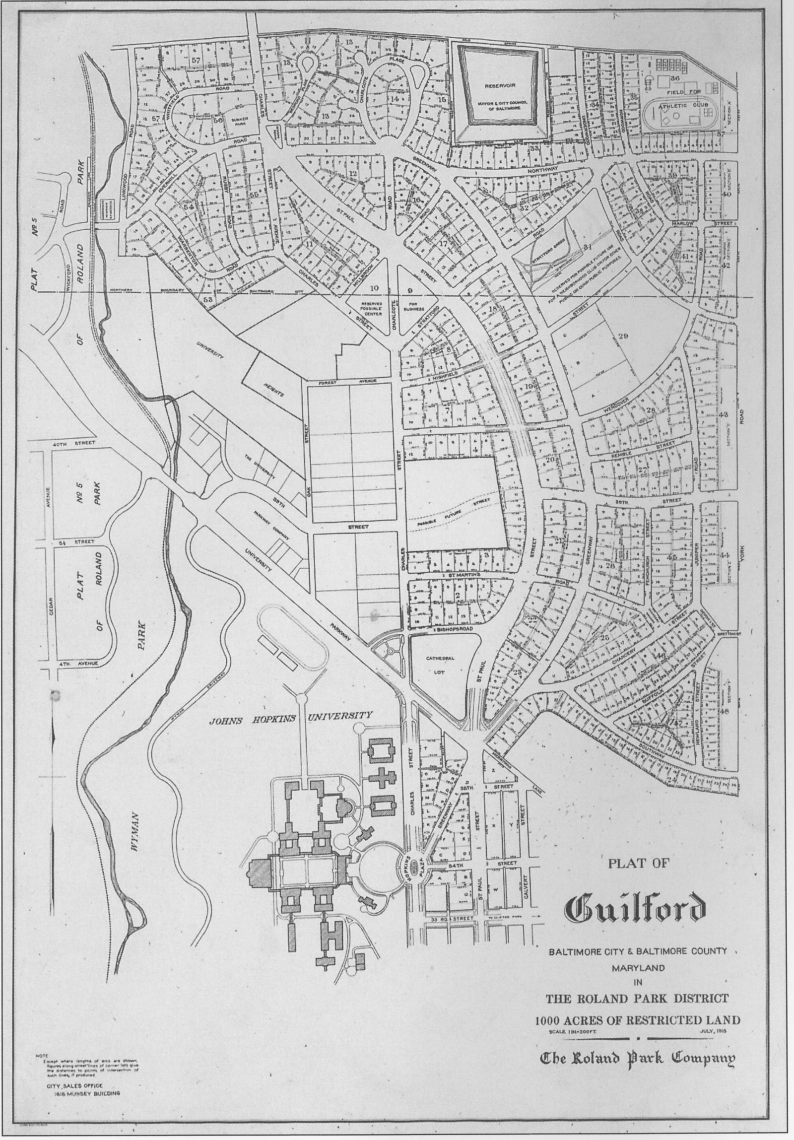
Map
The boundary delineation defines the Guilford National Register Historic District. The actual Guilford plat defining the community excludes Hadley Square and an area west of Charles St. opposite Millbrook Rd.


Click here to view/access a higher resolution version of the 1915 Guilford Plat Map

